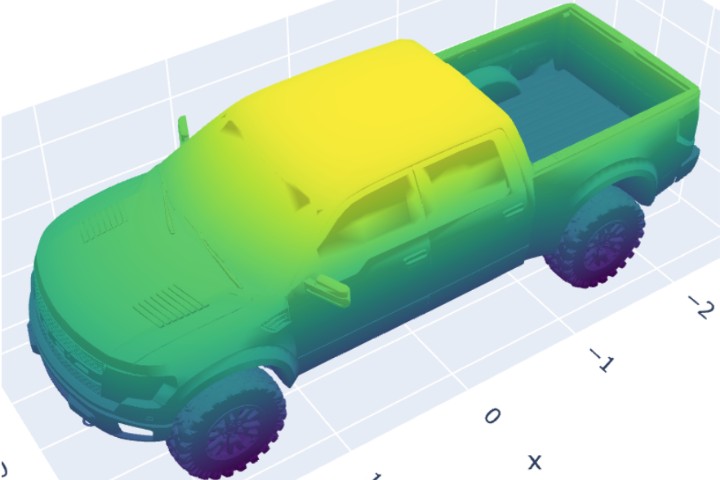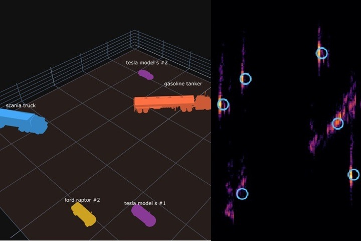
SAR Survey of a Parking Lot
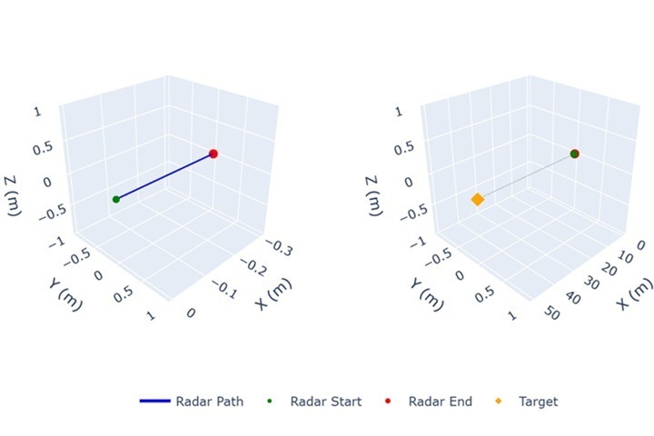
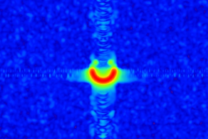
A RadarSimPy demo simulating a C-band SAR flyover of a parking lot: six real vehicle meshes ray-traced with mixed materials, chained multi-segment flights, and sliding-window Back-Projection imaging — showing how physically accurate ray tracing naturally produces real-world SAR artifacts like layover.