




Skip to content

Zach

RadarSimPy v15.3.0 Release

  • by

We’re excited to announce the latest release of RadarSimPy, our high-fidelity radar simulation framework. This update brings new features, performance improvements, and bug fixes to enhance your radar development workflow.

SAR Survey of a Parking Lot

  • by

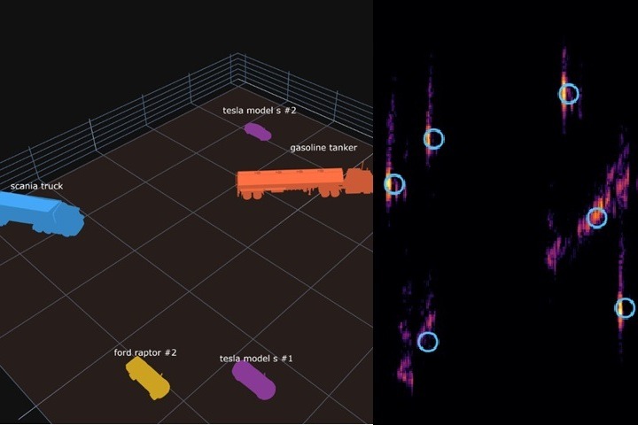
A RadarSimPy demo simulating a C-band SAR flyover of a parking lot: six real vehicle meshes ray-traced with mixed materials, chained multi-segment flights, and sliding-window Back-Projection imaging — showing how physically accurate ray tracing naturally produces real-world SAR artifacts like layover.

Pulse Radar SAR Imaging

  • by

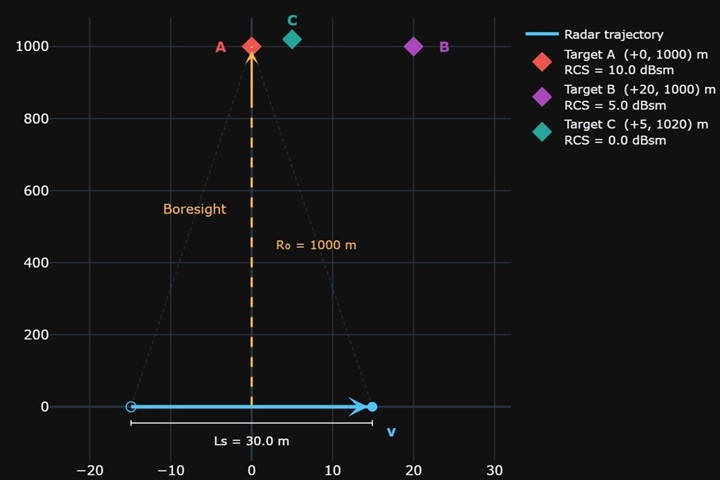
This notebook demonstrates a complete, end-to-end strip-map Synthetic Aperture Radar (SAR) simulation using RadarSimPy. Starting from first principles, it walks through waveform design, radar hardware modelling, raw-data generation, and image formation — producing a focused SAR image of three point targets via the Back-Projection Algorithm (BPA).

Introducing RadarSimApp

  • by

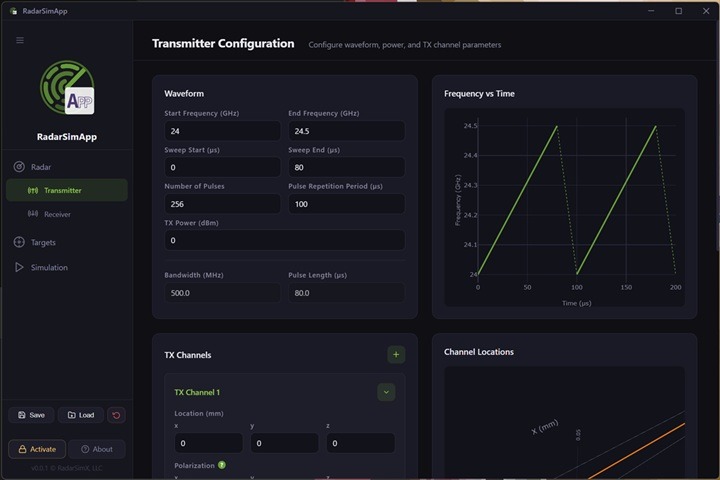
RadarSimApp is a new desktop application that brings advanced radar simulation to everyone—no coding required. Built on the proven RadarSimLib engine, it lets you design, simulate, and visualize radar systems through an intuitive graphical interface. Whether you’re a researcher, engineer, or student, you can model transmitters, receivers, and targets, run high-fidelity simulations, and analyze results… Read More »Introducing RadarSimApp

RadarSimM v15.1.0 Release

  • by

Here’s a summary of the latest version of RadarSimM, the MATLAB-compatible radar simulation module, now enhanced with new features, performance improvements, and expanded functionality.

Pulse Radar Altimeter

  • by

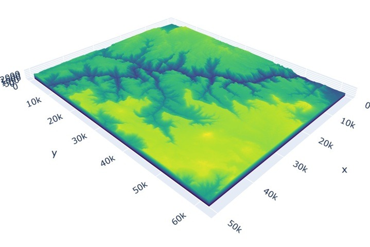
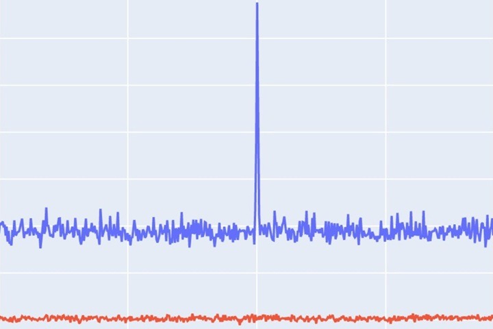
This notebook demonstrates pulse radar altimeter simulation for measuring altitude above terrain using RadarSimPy. The example configures a 10 GHz X-band altimeter positioned at 4000m altitude with a downward-pointing antenna that creates a ~140m terrain footprint. Using a detailed Grand Canyon 3D surface model, the simulation generates realistic ground returns and applies matched filtering to… Read More »Pulse Radar Altimeter

FMCW Radar with Motion Planning

  • by

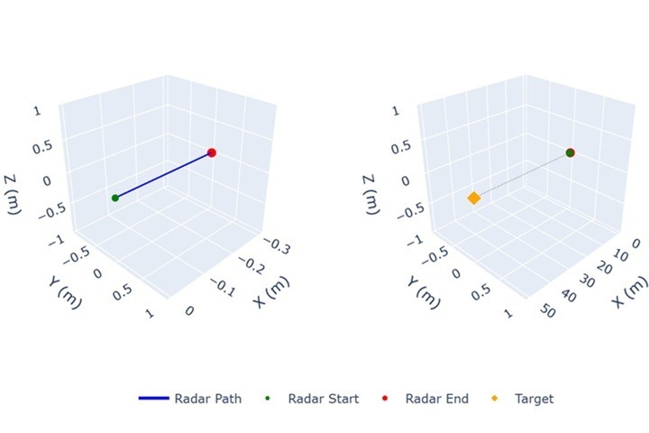
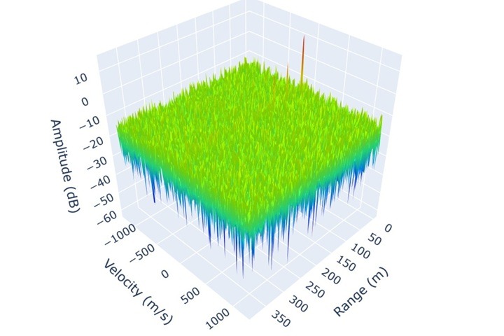
This post demonstrates radar platform motion planning using RadarSimPy, showing how to simulate FMCW radar systems mounted on moving platforms (vehicles, drones, robots). You’ll learn to define arbitrary time-varying radar trajectories, understand how platform motion creates Doppler shifts on stationary targets, and analyze Range-Doppler maps for moving radar scenarios. The examples cover linear motion, complex… Read More »FMCW Radar with Motion Planning

FMCW Radar Link Budget (Mesh Target)

  • by

This post continues our discussion on FMCW radar link budget analysis, moving from a point target to a mesh target scenario. A mesh target introduces unique reflective characteristics that affect signal strength and detection range. Radar link budget analysis evaluates power levels from transmission to reception, accounting for antenna gains, propagation losses, and target properties.… Read More »FMCW Radar Link Budget (Mesh Target)

FMCW Radar Link Budget (Point Target)

  • by

Radar link budget analysis is a critical process for determining the power levels throughout the radar system’s signal chain, from transmission, through propagation, to reception. The goal is to ensure that the radar can detect and track targets at the desired range. The analysis involves understanding how transmitted power is affected by various factors, such… Read More »FMCW Radar Link Budget (Point Target)

Pulsed Radar

  • by

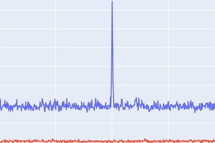
Pulsed radar transmits short, intense radio pulses to detect and track objects by measuring the time it takes for echoes to return. It’s used in air traffic control, weather monitoring, military surveillance, and navigation. The illustration demonstrates a pulsed radar simulation using the RadarSimPy framework.