








Pulse Radar Altimeter
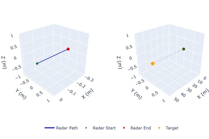
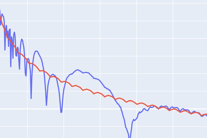
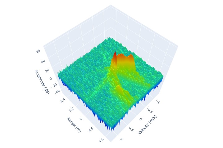
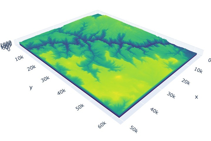
This notebook demonstrates pulse radar altimeter simulation for measuring altitude above terrain using RadarSimPy. The example configures a 10 GHz X-band altimeter positioned at 4000m altitude with a downward-pointing antenna that creates a ~140m terrain footprint. Using a detailed Grand Canyon 3D surface model, the simulation generates realistic ground returns and applies matched filtering to… Read More »Pulse Radar Altimeter